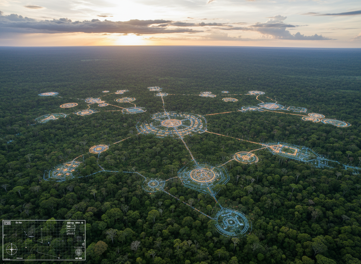
For generations, popular images of the pre-Columbian Amazon often treated the rainforest as too harsh to support large, complex settlements. LiDAR has helped overturn that assumption.
In Bolivia’s Llanos de Mojos, airborne laser scanning revealed a vast network of settlements built by the Casarabe culture between roughly AD 500 and 1400. What emerged was not a single isolated ruin, but a connected landscape of monumental centers, raised roads, canals, reservoirs, causeways and smaller settlements spread across the tropical savanna.
What LiDAR Actually Revealed
LiDAR works by firing laser pulses from an aircraft and measuring how long they take to return. Because some pulses pass through gaps in vegetation, researchers can digitally remove much of the forest canopy and reconstruct the terrain underneath.
That technique exposed two especially large Casarabe centers, Cotoca and Landívar. The mapped built areas measured about 147 hectares and 315 hectares respectively. Both contained monumental platforms and large civic-ceremonial architecture, while some pyramidal structures rose to around 22 meters.
A Network, Not Just a “Lost City”
The discovery is sometimes summarized as a “lost city in the Amazon,” but that phrase can be misleading. The researchers described the pattern as a form of low-density urbanism: large centers connected to secondary sites and smaller settlements rather than one densely packed metropolis.
Long, straight causeways linked parts of the network. Canals and reservoirs helped manage seasonal water. Defensive earthworks surrounded some central areas. The entire landscape appears to have been deliberately engineered rather than simply occupied.
How Could Such a Population Be Supported?
A later study published in Nature added an important piece to the puzzle. Archaeobotanical evidence showed intensive maize production alongside water-management features such as drainage channels and ponds. That agricultural system helps explain how large Casarabe communities could sustain themselves in an environment with dramatic seasonal flooding and drought.
In other words, the scale of the settlements was matched by an equally sophisticated way of shaping the landscape for food production and water control.
Why the Discovery Matters
The importance of the Casarabe sites goes beyond archaeology. They challenge an older picture of Amazonian history in which large-scale social organization was assumed to be rare or impossible away from the Andes.
Instead, the evidence points to communities capable of monumental construction, regional planning, agricultural intensification and long-distance connectivity. The rainforest and savanna were not untouched wilderness. In many places, they were landscapes actively designed by people for centuries.
Watch the Muslance Documentary
The Muslance video explores how LiDAR changed what archaeologists could see beneath the vegetation—and why these settlements force us to rethink the scale of pre-Columbian life in the Amazon.
Sources
- Prümers, H. et al. “Lidar reveals pre-Hispanic low-density urbanism in the Bolivian Amazon.” Nature (2022).
- Recent Nature research on intensive maize agriculture and water management in the Casarabe cultural landscape (2025).
Leave a Reply